If you love the Potomac-side lifestyle in Mount Vernon but worry about the commute into DC, you’re not alone. Many buyers want tree-lined streets, trails, and quieter neighborhoods while keeping a reasonable ride to work. In this guide, you’ll see which Mount Vernon spots make DC commutes easier, how the main routes compare, and smart park-and-ride strategies that save time and stress. Let’s dive in.
Why Mount Vernon works for DC commuters
Mount Vernon sits in southeastern Fairfax County along the Potomac, with central DC typically about 10 to 20 miles away depending on your exact start and route. That puts you in range of several corridors and Metro nodes, which gives you options. Peak periods still matter, but hybrid work has spread travel across more hours, so traffic can be more variable from day to day.
Your key advantage here is flexibility. You can choose between the George Washington Memorial Parkway, Route 1, inland interstates via connectors, or a drive-to-Metro plan. You can also bike segments using the Mount Vernon Trail when the weather cooperates.
The main ways to commute
GW Parkway
The George Washington Memorial Parkway is a scenic riverside route with limited commercial traffic. It links Mount Vernon to Alexandria, Arlington, and DC, and runs alongside the Mount Vernon Trail.
- Why you’ll like it: Beautiful views and a direct northbound connection toward Arlington and DC.
- What to weigh: Lower speed limits and event or tourist slowdowns can add time in peak periods.
- Learn more about the corridor on the National Park Service’s page for the George Washington Memorial Parkway.
Route 1 (Richmond Highway)
Route 1 is Mount Vernon’s main commercial spine with shops, services, and frequent bus routes.
- Why you’ll like it: Direct access to daily errands and several Metro feeders.
- What to weigh: Signalized intersections and many access points make it stop-and-go during rush hour, especially over longer distances.
I-395 and I-95 via connectors
If you prefer limited-access highways, you can connect from local roads to I-395 and I-95. Express Lanes and HOV rules can shorten trips for qualifying vehicles or for a toll.
- Why you’ll like it: Often the fastest path when general lanes are heavy, especially with Express Lanes.
- What to weigh: You need a local connector to get there, and tolls vary by time of day. Incidents can cause big travel swings.
Metro plus park-and-ride
Many Mount Vernon residents drive or bus to a nearby station, then ride Metro into DC. Huntington is the closest for much of southern Alexandria, with King Street–Old Town, Eisenhower Avenue, Van Dorn Street, and Franconia–Springfield also in play.
- Why you’ll like it: Predictable rail time once you’re on the platform and no downtown parking.
- What to weigh: You’ll need to factor in station parking capacity, fares, and schedule reliability. Use the WMATA Trip Planner to compare options.
Bike or bike-to-transit
The Mount Vernon Trail runs along the Potomac and connects south of Old Town to Crystal City, the Pentagon area, and beyond.
- Why you’ll like it: Scenic, low-stress riding away from traffic with good links to major job centers.
- What to weigh: Weather, daylight, and the need for secure bike parking at your destination. See the Mount Vernon Trail overview for planning.
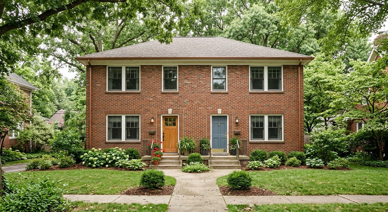
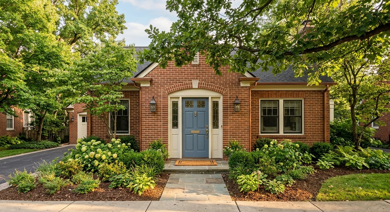
Mount Vernon spots with easy DC commutes
Below are several neighborhoods buyers often ask about. For each one, you’ll see the nearest Metro options, the best corridor to consider, and a quick tradeoff summary.
Belle Haven and Belle View
- Nearest Metro: Huntington for Yellow Line access. King Street–Old Town is also within a short drive.
- Primary corridor: GW Parkway north for Arlington and DC. Route 1 for local access.
- Park-and-ride: Huntington Garage is a go-to; review daily capacity and costs on WMATA parking info.
- Tradeoff summary: Quick access to the Parkway and the Mount Vernon Trail with a scenic drive, but rush-hour slowdowns can occur near Old Town and Arlington bridges.
Fort Hunt
- Nearest Metro: Huntington or King Street–Old Town, depending on your exact street.
- Primary corridor: Fort Hunt Road to GW Parkway, or Route 1 to interstate connectors.
- Park-and-ride: Huntington for Yellow Line; Franconia–Springfield for Blue Line and a larger parking supply.
- Tradeoff summary: Quiet residential pockets and multiple route choices, with a short local leg before you hit the Parkway or Route 1.
Hollin Hills
- Nearest Metro: Huntington for the Yellow Line; Eisenhower Avenue or Van Dorn Street are alternatives from some blocks.
- Primary corridor: Fort Hunt Road to GW Parkway or Route 1 to interstate connectors.
- Park-and-ride: Huntington is often simplest for rail; check early-morning capacity.
- Tradeoff summary: Flexible route options and quick station access by car, though morning backups can build along both the Parkway and Route 1.
Hybla Valley and Bucknell Manor
- Nearest Metro: Huntington; King Street–Old Town for some commutes.
- Primary corridor: Route 1 north to Alexandria and DC, or Route 1 south to reach I-95/I-395 via the Beltway.
- Park-and-ride: Huntington for rail; several commuter lots and garages in Fairfax County are posted on the county’s commuter parking page.
- Tradeoff summary: Strong bus and local access along Route 1 with easy station drives, but peak-period stop-and-go is common on long Route 1 segments.
Mount Vernon Estate area and Riverside Estates
- Nearest Metro: Huntington for the Yellow Line; Franconia–Springfield for the Blue Line and additional parking.
- Primary corridor: GW Parkway north or Route 1 to interstates, depending on your DC destination.
- Park-and-ride: Franconia–Springfield offers large parking supply and VRE; verify daily availability on WMATA station pages.
- Tradeoff summary: A bit farther south, but multiple station choices give you flexibility if one lot fills early.
Park-and-ride tips that save time
A drive-to-Metro plan is one of the most reliable Mount Vernon strategies. Before you settle on a station or lot, check:
- Capacity and typical weekday morning availability.
- Daily rates or permits, plus payment methods.
- Lighting, shelter, and visibility if you commute before sunrise.
- Peak and off-peak train frequency to your job hub.
- First and last trains if you work early or late.
Use WMATA’s parking information to review station garages, and browse Fairfax County’s commuter parking options for additional lots.
How long will it take?
Plan with ranges rather than single numbers since travel varies by hour and incidents. A typical rush-hour drive from Mount Vernon into downtown DC can run about 30 to 60 plus minutes depending on route and conditions. Off-peak drives often fall below 30 minutes.
If you choose Metro, your door-to-door time depends on your drive or bus to the station, parking, platform wait, and in-vehicle time. The rail segment is usually predictable, and you can check live updates using WMATA service alerts. If you drive highways, Express Lanes or HOV periods can shorten travel at a cost or with qualifying occupancy.
Biking and micromobility
For some jobs in Arlington or near the Pentagon and Crystal City, the Mount Vernon Trail can be a viable option. You can bike the full way or ride to a station and switch to rail. Review the Mount Vernon Trail guide for route details and safety tips.
If you want a flexible last mile, Capital Bikeshare is widely available across Alexandria and DC. Check station locations and availability on the Capital Bikeshare site, and confirm secure bike storage or showers at your workplace.
Choose your best-fit spot
Use this simple process to match your lifestyle with your commute goals:
- Name your DC hub. Is it near the Pentagon, Federal Triangle, or Capitol Hill? That drives your route and rail line.
- Pick a primary corridor. GW Parkway, Route 1, or interstates each have tradeoffs. Keep a backup plan.
- Select your Metro station. Compare Huntington, King Street–Old Town, Eisenhower Avenue, Van Dorn Street, and Franconia–Springfield.
- Test-commute twice. Try a weekday morning and an afternoon return to get a real feel for timing.
- Lock in a park-and-ride plan. Confirm parking capacity, costs, and train frequency for your typical arrival.
Regional plans and investments can also affect future reliability. For broader context, you can review the Northern Virginia Transportation Authority’s studies and updates on the NVTA website.
Get a custom commute analysis for your home search
You deserve a clear picture of life in Mount Vernon and what the trip to DC will really feel like. Our local team will build a personalized commute brief with route options, park-and-ride choices, and listings near your preferred stations. We can also share peak and off-peak isochrone maps so you can compare neighborhoods with confidence.
Ready to find your fit? Reach out to YAMO Premier Properties LLC for a friendly consult, a custom commute comparison, and to Get Your Free Market Report.
FAQs
How long is the rush hour drive from Mount Vernon to downtown DC?
- Plan for about 30 to 60 plus minutes depending on corridor, time of day, and incidents; off-peak trips often take less time.
Which Metro stations work best for Mount Vernon residents commuting to DC?
- Huntington is often most convenient, with King Street–Old Town, Eisenhower Avenue, Van Dorn Street, and Franconia–Springfield as strong alternatives.
Is there parking at nearby Metro stations like Huntington or Franconia–Springfield?
- Yes, but availability varies by time and station; check rates and capacity on WMATA’s parking information page.
How reliable is Metro for daily commutes from Alexandria into DC?
- Rail time is generally predictable, but planned work and disruptions occur; review WMATA service alerts before you go.
Are there useful bus options along Route 1 so I can skip station parking?
- Yes, Fairfax Connector and Metrobus run feeders along Richmond Highway; see schedules and routes on the Fairfax Connector site.
Can I bike from Mount Vernon to Crystal City or the Pentagon?
- Many riders use the Mount Vernon Trail for full or partial trips, sometimes pairing with Metro or Capital Bikeshare.