Picture this: an early bike ride on the Mount Vernon Trail, a quiet paddle through Dyke Marsh at sunset, and a quick drive to Old Town Alexandria for dinner. If you love the idea of life by the Potomac, Mount Vernon delivers a rare mix of river access, historic scenery, and neighborhood comfort. At the same time, waterfront ownership comes with special rules, permits, and risks that you want to understand before you buy. In this guide, you’ll learn how the lifestyle works here, where to launch a boat, what neighborhoods offer, and the key checks to make early so you can move forward with confidence. Let’s dive in.
Waterfront lifestyle highlights
Mount Vernon Trail access
You are steps from one of the region’s signature amenities. The Mount Vernon Trail stretches about 18 miles along the Potomac from George Washington’s Mount Vernon to Theodore Roosevelt Island. It is managed by the National Park Service and connects you to Old Town, Arlington, and wider trail networks for daily runs, scenic rides, and weekend outings. Learn more about the trail and its map on the National Park Service page for the Mount Vernon Trail.
Explore the Mount Vernon Trail
Belle Haven Marina for rentals and slips
For many Mount Vernon residents, Belle Haven Marina is the most convenient on-water hub. Operated under an NPS concession, it offers sailboats, kayaks, and stand-up paddleboard rentals, plus wet and dry slips and seasonal lessons. It is also a common launch for exploring Dyke Marsh and the nearby shoreline.
See rentals, slips, and lessons at Belle Haven Marina
Wildlife and quiet coves at Dyke Marsh
Dyke Marsh is one of the largest tidal freshwater wetlands in the metro area. From the Mount Vernon Trail and Haul Road spur, you can spot a wide range of birds and enjoy calm marsh views. Many paddlers put in at Belle Haven to reach these protected waters.
Plan a visit to Dyke Marsh Wildlife Preserve
Alexandria by water
Old Town’s City Marina provides additional slips and transient docking, along with water taxi and tour-boat connections to National Harbor, the monuments, and Georgetown. It is a short drive from Mount Vernon neighborhoods, which makes day trips easy.
Check Old Town Alexandria’s City Marina
Neighborhoods and home styles
A mix of classic and mid-century homes
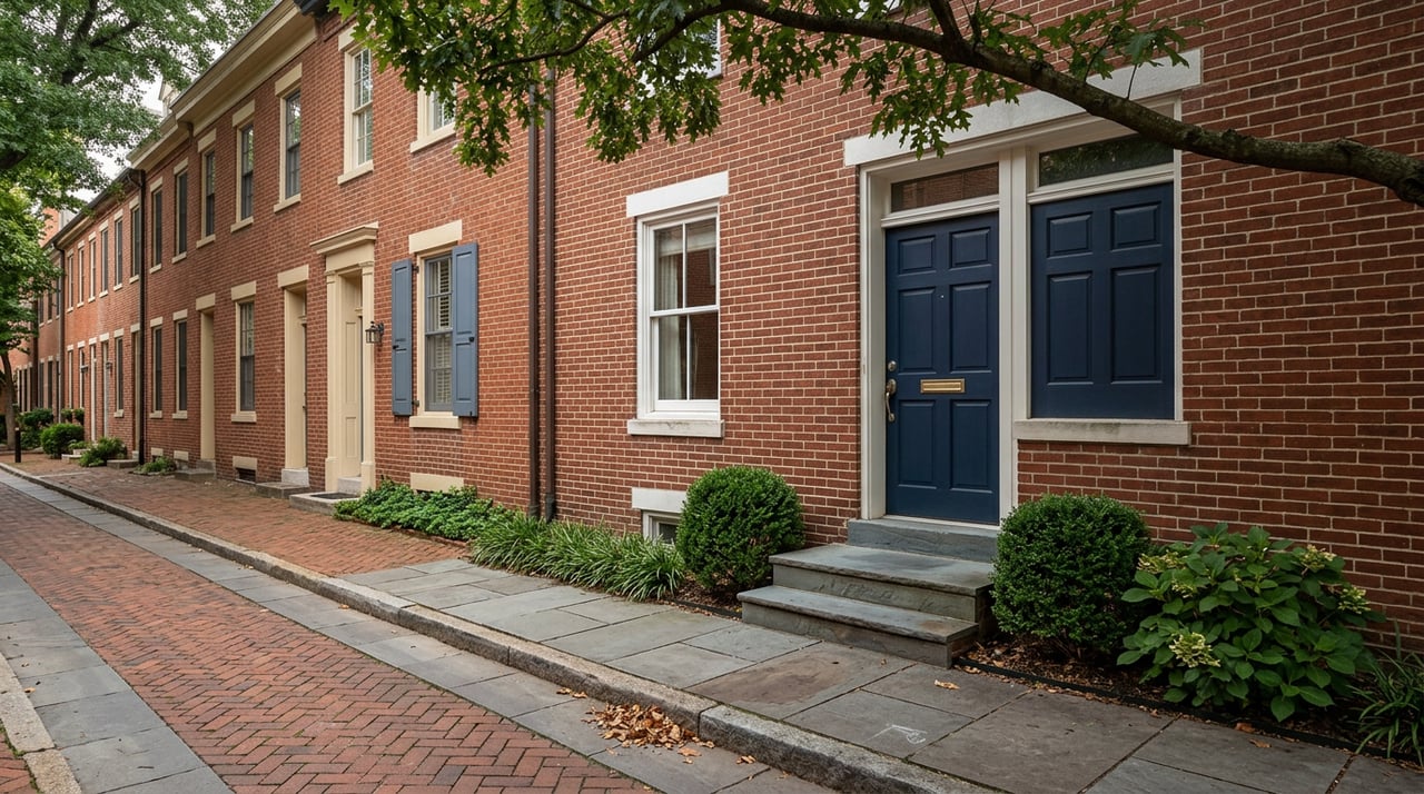
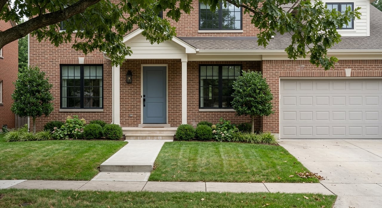
Along the river corridor, you will find established single-family neighborhoods with larger lots and tree-lined streets. Belle Haven, Waynewood, Fort Hunt and Stratford, Villamay, and River Farms areas include a mix of older homes, renovated properties, and a few riverfront estates. Closer to Richmond Highway, there is some townhouse and condo development.
Hollin Hills design character
If mid-century modern appeals to you, Hollin Hills is a standout. It features open-plan designs, distinctive glass lines, and a historic overlay district that sets design-review protections. Buyers who value architecture and neighborhood aesthetics often prioritize these details.
Getting around
The George Washington Memorial Parkway ties Mount Vernon to Old Town and the wider region. It keeps waterfront neighborhoods connected to jobs and amenities while preserving access to parks and trails. That balance of commute options and nature is a core part of the local appeal.
What to know about rules and risk
Flood zones, maps, and insurance basics
Waterfront and near-water properties can sit in or near Special Flood Hazard Areas, also known as the 1 percent annual chance flood zone. Always confirm a home’s flood risk with both FEMA resources and local Fairfax County tools. The county’s Flood Risk Awareness page links to parcel-level maps and guidance.
- Start with Fairfax County’s Flood Risk Awareness Tool to see local layers and recorded floodplains.
- Use FEMA’s NFIP terminology guide to understand terms like SFHA and how Risk Rating 2.0 influences premiums.
- Ask for and review the property’s Elevation Certificate if available.
Know your flood risk in Fairfax County
Understand SFHAs and Risk Rating 2.0
Find FEMA Elevation Certificate forms
NFIP vs private flood insurance
You can buy a National Flood Insurance Program policy through a private agent or explore private-market carriers. NFIP policies follow federal guidelines and may be required by lenders when a home is in a mapped SFHA. Private carriers set their own underwriting and pricing. Because Risk Rating 2.0 uses property-specific factors, quotes can vary. Compare options and confirm any lender requirements before you bind coverage.
Chesapeake Bay RPAs and shoreline work
Fairfax County enforces the Chesapeake Bay Preservation Ordinance. Land within certain distances of tidal shorelines and water features may be designated as Resource Protection Areas. In an RPA, activities like tree removal, grading, and adding accessory structures have limits and review requirements. Before planning any shoreline or buffer changes, confirm RPA boundaries and permitted uses with the county.
Read Fairfax County’s Chesapeake Bay Preservation rules
Permits for docks and living shorelines
In-water and tidal shoreline work usually requires a Joint Permit Application to the Virginia Marine Resources Commission, with coordination from the U.S. Army Corps of Engineers and state agencies. Virginia policy favors living shorelines where feasible, which means vegetation and low-profile sills are encouraged over bulkheads. Expect reviews that evaluate submerged aquatic vegetation, navigation, and public interest factors, as well as seasonal work windows.
See VIMS permit guidance and living shoreline resources
Review Virginia’s living shoreline policy direction
Riparian rights and title specifics
Deeded rights along the Potomac can be nuanced. Private docks, moorings, bulkheads, and shoreline strips depend on what the recorded title allows, plus local, state, and federal rules. Some parcels may border National Park Service land or public easements. For any property you are serious about, have your title company and, if needed, a real estate attorney confirm the recorded rights.
Soils, sewer, and septic
Parts of the Mount Vernon shoreline area sit on Coastal Plain soils that can be marginal for septic systems. Check whether a home is on public sewer or a private septic system, and confirm capacity and condition. If you plan to expand or redevelop, these utilities and soils can affect feasibility and timelines.
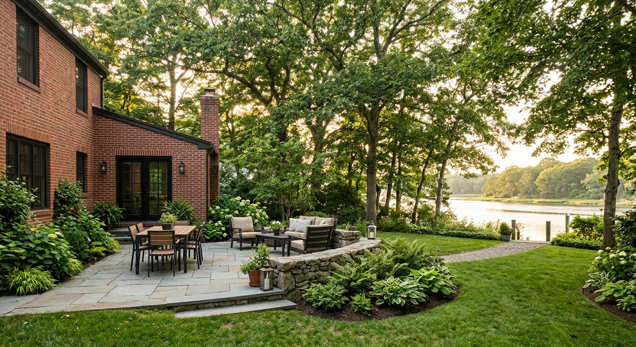
Owning on the water: maintenance and care
Shoreline structures and upkeep
Bulkheads, revetments, piers, and living shorelines all require inspection and periodic maintenance. Replacement or upgrades often involve permits and may have specific timing due to environmental conditions and neighboring properties. If you are evaluating a home with existing shoreline structures, ask for permits, as-built drawings, and maintenance records.
Storms, tides, and site visits
Visit any property at both high and low tide, and after heavy rain. Look for pooling water, erosion, marsh buffers, and drainage flows. Observing the site in different conditions gives you context that maps and disclosures cannot match.
Buyer checklist for Mount Vernon waterfront
- Check FEMA and Fairfax County flood resources first. Confirm the flood zone, whether base flood elevations are published, and where the structure sits relative to mapped areas.
- Ask the seller for an Elevation Certificate, prior flood claims, repair history, and any permit or as-built documentation for docks and bulkheads.
- Order a current survey. If the home is near the mapped floodplain, consider a new Elevation Certificate from a licensed surveyor. It can materially affect NFIP premiums.
- Get quotes for flood insurance from an NFIP-participating agent and private carriers. Compare pricing, coverage, and lender acceptance.
- Confirm riparian rights, any HOA rules, and whether slips are deeded, leased, or subject to transfer rules and waitlists.
- Walk the site at high and low tide, and after a storm. Note shoreline condition, vegetation, and drainage patterns.
- Explore your boating and paddling options. Belle Haven Marina is an accessible launch for non-motorized outings, and Old Town’s City Marina offers additional slip options and connections.
For local sellers and owners
- Keep tidy records. Maintain copies of surveys, Elevation Certificates, shoreline permits, and maintenance invoices. Buyers will ask for them.
- Plan shoreline work early. Living shoreline approaches are encouraged in Virginia, and permit reviews take time. Ask your contractor to coordinate with VMRC, USACE, and Fairfax County.
- Maintain the buffer. Healthy shoreline vegetation protects against erosion and supports water quality, which aligns with RPA goals.
Who to contact and where to start
- Mount Vernon Trail and Dyke Marsh information: NPS pages offer maps, access tips, and seasonal guidance.
- Boat rentals and lessons: Belle Haven Marina lists rentals, lessons, and slip availability.
- Slips and water taxi: Old Town Alexandria’s City Marina provides regional connections and docking info.
- Flood risk tools: Fairfax County’s Flood Risk Awareness page links to local maps and resources.
- NFIP terms and forms: FEMA resources explain SFHAs, Risk Rating 2.0, and Elevation Certificates.
- Shoreline permits and guidance: VIMS provides permit guidance and technical resources on living shorelines.
When you are ready to explore listings or talk through a game plan, we are here to help. Waterfront success in Mount Vernon is about pairing the lifestyle you want with smart, early due diligence. Tap our local knowledge and step-by-step support to make your move with clarity. Connect with YAMO Premier Properties LLC to get started and Get Your Free Market Report.
FAQs
What makes Mount Vernon waterfront living unique?
- You get daily access to the Mount Vernon Trail, Belle Haven Marina, and parks like Dyke Marsh, with quick connections to Old Town and the broader DMV for dining, culture, and commuting.
How do I find a slip or boat storage near Mount Vernon?
- Start with Belle Haven Marina for small-boat rentals and slips, and check Old Town Alexandria’s City Marina for additional slip options and water taxi connections. Availability can be seasonal and waitlists are possible.
What should I know about flood insurance for Mount Vernon homes?
- Confirm the flood zone and elevation, then compare NFIP and private-market quotes. Risk Rating 2.0 uses property-specific factors, so premiums vary. Lenders may require NFIP if the home is in an SFHA.
What is an RPA and how could it affect my property?
- A Resource Protection Area is a buffer regulated under the Chesapeake Bay Preservation Ordinance. It can limit tree removal, grading, and certain structures near the shoreline. Always confirm boundaries before planning work.
Can I build or replace a dock on the Potomac in Mount Vernon?
- Most in-water or tidal shoreline work requires a joint permit reviewed by VMRC, USACE, and state agencies. Virginia encourages living shorelines where feasible, so design and timing are reviewed for environmental impacts.
Are there special septic or sewer considerations for waterfront homes?
- Some shoreline areas have soils that are marginal for septic. Confirm whether a home is on public sewer or a private system, and factor utility capacity into any renovation or expansion plans.